 |
|
 |
|
 |
|

|
Collection:
Date: Images: |
WestMacDonnell
March 2011 16 |
Show on map
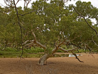
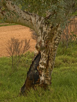
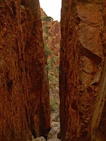
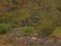
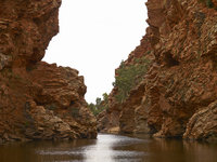
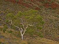
The name "Alice Springs" indicates why they built a town in this place: it was not only conveniently halfway along Stuart Highway (a cross country telegraph track), but also in an area with natural springs. Alice Springs lies in the middle of the MacDonnell ranges, an old mountain ridge. What little water there is in the desert collects in artesian basins in the mountain range and the MacDonnells are one region in the red centre where there are reliable sources of water.
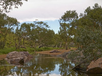
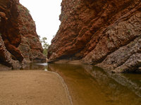
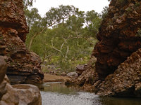
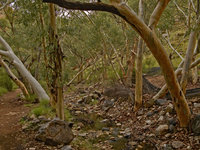
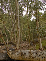
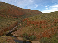
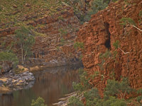
From Alice Springs, the Larapinta and Namatjira drives (roads) go westwards along the southern edge of the ranges. Larapinta drive leads to a supposedly nice oasis, but we were told that due to the rainfalls, the status of the road was unclear and it could be closed at any time. Namatjira drive leads to a couple of gorges and lakes and then to a waystation in the desert, Glen Helen
|
|
|
|
|

|
|
|
|
|
|
|
|
|
|
|
This page has been created on Sunday 12. April 2015 from galleries.xml using galleries.xsl.